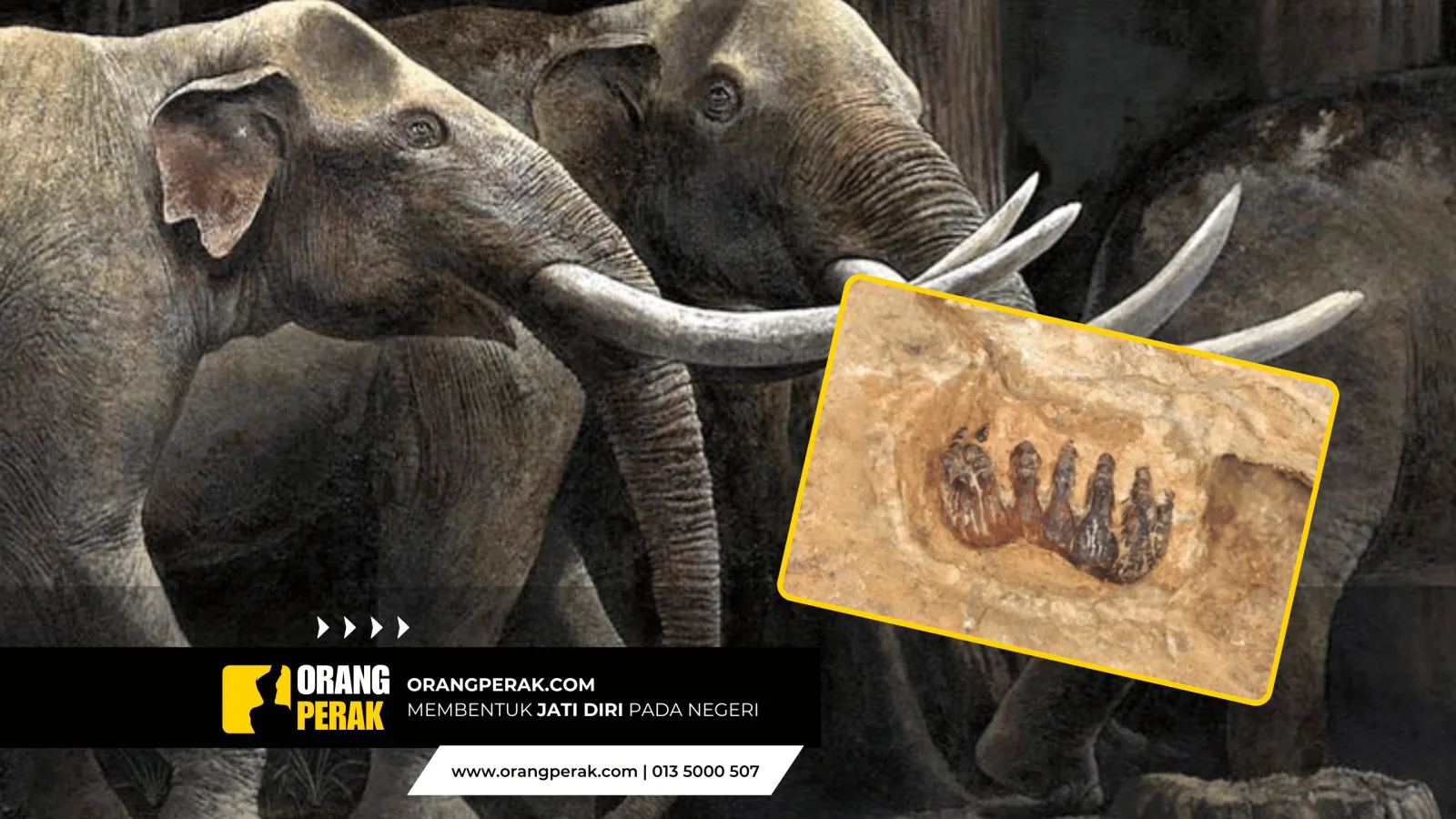
The Connection Between Kampung Sungai Batu in Pantai Remis and Gangga Negara
Kampung Sungai Batu began as a very small settlement originally named Sungai Agas. Most residents in Sungai Batu today trace their roots back to the mid-19th century, specifically between 1830 and 1870, during the tail end of the Dutch and British colonial eras.
Have you ever heard of the Gangga Negara Kingdom? If so, for your information, there are various versions linking it to the ancestors of the current residents of Kampung Sungai Batu, as it is said to be closely related. Today, the settlements in Kampung Sungai Batu along the roads of Kampung Batu 51, Pantai Remis, Batu 17, Pengkalan Bharu, Sungai Tuntung, and up to Kampung Tengah Panchor began with the arrival of a group of people from Kedah who agreed to open a new settlement. All the villages located slightly further back from the current main roads are newer settlements, namely Kampung Tanjung Ara, Padang Lenga, Matang Kerian, Matang Kubu, Matang Kurau, Parit Marikan, Tebuk Yan, Ujung Pasir, Matang Jambu, and Kampung Nelayan Sungai Batu (Pantai Tin).
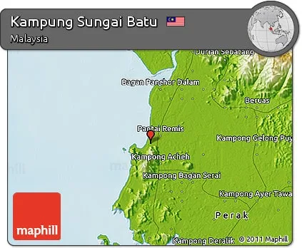
According to the elders in the village, when Kampung Sungai Batu was first established on the flat land known as Sungai Agas, there was also a settlement on the high ground of Bukit Teluk Sera, which is located on the edge of Kampung Sungai Batu and extends to Tanjung Batu. The area housed about 30 houses with a population of around 100 people. The village was led by the family of Tok Chat (possibly Arshad), who came from northern Penang or Seberang Perai and was of mixed Hainanese descent. They sailed from the north and docked at the mouth of Sungai Kelian, which is located at the site of a former mine today. One day, the village at Bukit Teluk Sera was attacked by a swarm of ants so large that the residents could no longer live their daily lives as usual. The massive number of ants disrupted all daily affairs. Food storage areas were filled with ants, sleeping areas were constantly disturbed, and babies had to be watched closely 24 hours a day to keep them safe from the ant swarms. Economic activities were also disrupted due to the extreme discomfort caused by the ant infestation. Eventually, the residents agreed to move down from the high ground to the flat land by the river near the existing settlement of Kampung Sungai Agas, which was later renamed Sungai Batu. This migration took place in 1887. At that time, Tok Chat had a young son named Ibrahim. It is the descendants of Ibrahim who occupy parts of the Permatang Jambu, Matang Kurau, Jalan Parit Marikan, and nearby villages. Traces of the old settlement on the high ground of Bukit Teluk Sera can still be seen in several places around Bukit Teluk Sera today. A number of old gravestones still remain at Bukit Teluk Sera. One of these burial areas is located on the hill from the direction of 'Katoq Pandan' ('katoq' means a small stream flowing down a hill or a small waterfall).
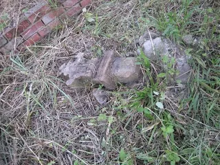
The topography of Kampung Sungai Batu and the entire North Manjung area has also undergone significant changes over a long period. Evidence and analysis based on historical research procedures show that a large part of the land forming the villages mentioned in the previous paragraph was once an ocean with a coastline near the hills from the direction of Bukit Gantang to Beruas. Tun Sri Lanang's records regarding the story of Gangga Negara describe ships entering to dock at the port of Gangga, which could be observed from lookout posts located around the hills between Kampung Kota and Gelung Pepuyu today. The discovery of several parts of ship hulls and large vessel equipment along Sungai Beruas at a distance of 9 to 17 kilometers from the mouth of Sungai Beruas in Pantai Remis—specifically around the end of Kampung Tanjung Ara Dalam and Kampung Bumi Hijau, extending to Kampung Pulau Meranti and Kampung Pulau Kabong—proves that the mouth of Sungai Beruas in ancient times was located near the town of Beruas or around Kampong Kota Beruas. This image confirms the statement that most of the villages closer to the ocean today were still underwater in ancient times.
- This article is a contribution from the Geng Pantai Remis - Sg Batu group.